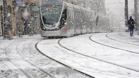
The updated forecast for the next few provided by Elad Zohar, network forecaster 13, in collaboration with Roternik,
Primer Season and Rain. This week begins the winter. The predicted quantities by Shabbos will reach 100 millimeters in the north.
Wednesday night: cooler, a slight strengthening of the wind. Rain is expected mainly in northern Israel, but a rain wave will penetrate the south.
Thursday: Rain and wind are on the rise. Weather will be wintry and windy in the evening. Snow may fall at the top of Mount Hermon.
Friday: Rainy and cold throughout the day. The rain is expected in the north and center of the country. The amount of rain in the center of the Ashdod-Jerusalem line will be lower. The wind will gradually weaken. The sea is stormy with waves of 4 meters.
Shabbos: cold, local rain in a downward trend mainly in northern Israel.
• This is the first organized winter system for the season. The peak will be Thursday night and Friday.
• Certain phenomena and damage: floods in the coastal cities, floods in the northern Judean Desert.
• Possible phenomena and damages: tree collapse, power outages, floods in the Negev and the Aravah (Thursday).
Currently, the forecast for Jerusalem shows a low of 45F Wednesday night, and a high of 55 on Thursday, with a 60% chance of rain. Thursday night will remain the same as Wednesday night, and Friday will bring another drop in temperatures; with a high of 52 and a 90% chance of precipitation. Shabbos will be accompanied by partially cloudy skies with a high of 55.
(YWN Israel Desk – Jerusalem)


