
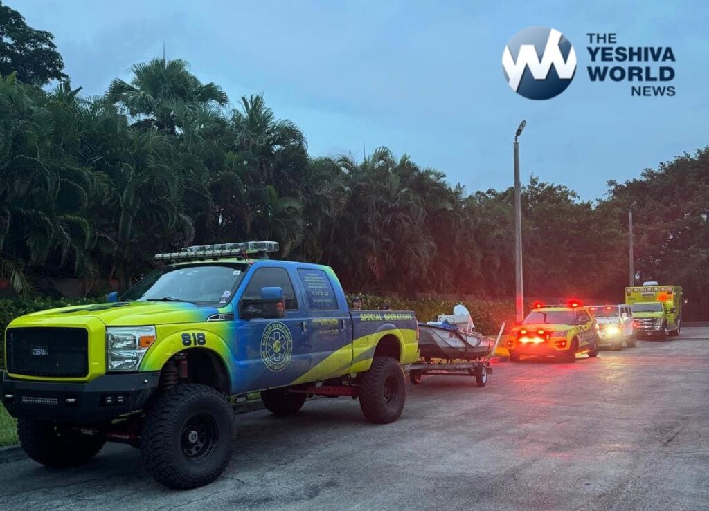
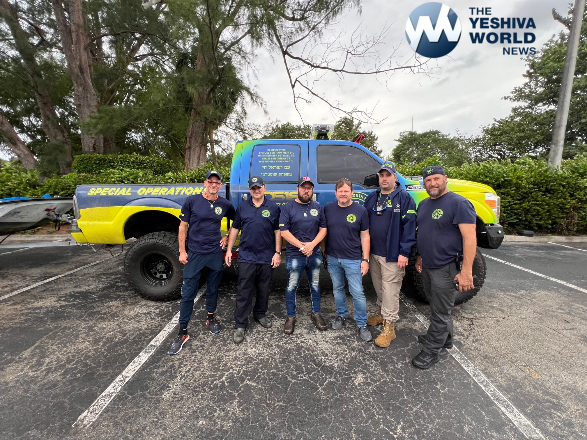
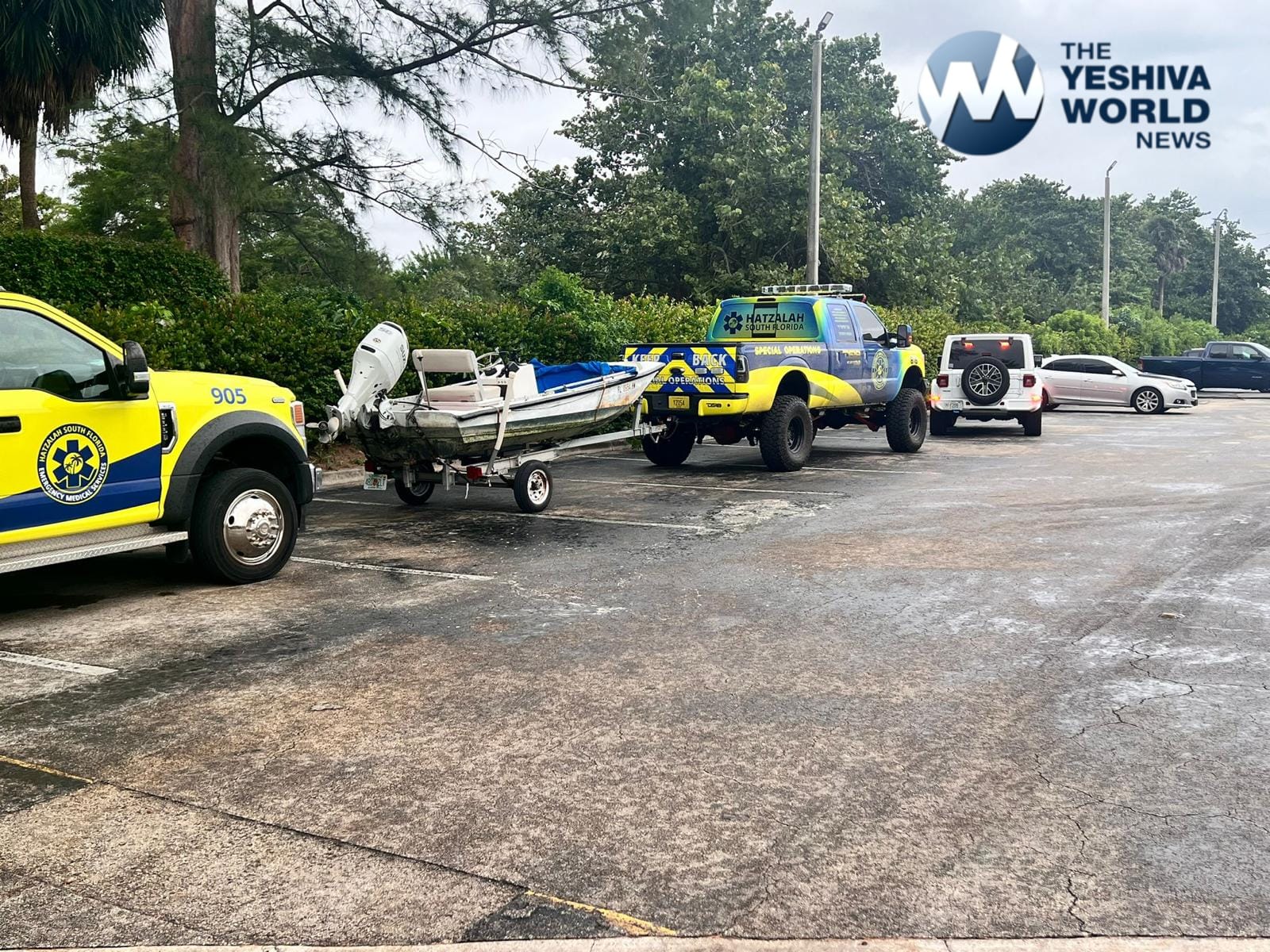
As Hurricane Milton barrels toward Florida’s western coastline, Hatzalah South Florida (HSF) is taking proactive measures to ensure the safety of local Jewish communities. The powerful hurricane is expected to make landfall Wednesday night, bringing with it the potential for catastrophic damage. In response, HSF has been working closely with synagogues, Chabad Houses, and local shuls across the state, particularly in areas like Tampa and Orlando, to prepare for the impending storm.
Chevra Hatzalah, based in New York City, has confirmed that they are ready to assist HSF if needed. “Hatzalah South Florida has notified Central that they have the resources necessary to meet the needs of the community with the upcoming storm,” Chevra Hatzalah CEO Yechiel Kalish wrote, stressing that if additional resources are required post-storm, Chevra Hatzalah is prepared to mobilize.

These efforts come as HSF coordinates with state, local, and federal agencies to safeguard the communities in the storm’s path. HSF has also established a 24/7 emergency hotline at (904) 638-0000, which will be operated from a location outside the storm zone to ensure uninterrupted communication. For immediate medical emergencies, the HSF emergency dispatch number, (305) 919-4900, will continue to be manned throughout the duration of the storm.
If you or your loved ones plan to remain in the area, take a moment to complete this form.
Speaking to the dangers posed by Hurricane Milton, HSF strongly urged residents to stock up on essential supplies, such as water, flashlights, and batteries, and to follow the directives of local authorities.
“This storm is extremely dangerous, and we cannot underestimate the potential for catastrophic damage to life and property,” Baruch Sandhaus of HSF told residents in a video statement to YWN. “Do not hesitate to seek shelter and take all precautions necessary.”
Hurricane Milton began hurling rain, tornadoes and tropical storm-force winds at the U.S. coast Wednesday afternoon as time began to run out for residents to evacuate from the potentially catastrophic path the storm was carving toward Florida.
The National Hurricane Center stressed that it was not certain where Milton’s center would come ashore Wednesday night because the storm’s path might “wobble,” but the entire Tampa Bay region and points south were at grave risk.
Milton, which has fluctuated in intensity as it approaches Florida, was a Category 3 hurricane Wednesday afternoon. It was expected to remain a hurricane after hitting land and plowing across the state, including the heavily populated Orlando area, through Thursday.
Tampa Bay, near the top of a long stretch of coastline that could be in the bull’s-eye, has not taken a direct hit from a major hurricane in more than a century.
With the storm weaker but growing in size, the surge was projected to reach as high as 12 feet (3.6 meters) in Tampa Bay and up to 13 feet (4 meters) farther south, between Sarasota and Fort Myers.
At a news conference in Tallahassee, Gov. Ron DeSantis described deployment of a wide range of resources, including 9,000 National Guard members from Florida and other states; over 50,000 utility workers from as far as California; and highway patrol cars with sirens to escort gasoline tankers to replenish supplies so people could fill up their tanks before evacuating.
“Unfortunately, there will be fatalities. I don’t think there’s any way around that,” DeSantis said.
Milton was centered about 60 miles (100 kilometers) west-southwest of Sarasota early Wednesday evening and had maximum sustained winds of 120 mph (195 kph), the hurricane center reported. It was moving northeast at 17 mph (29 kph).


(YWN World Headquarters – NYC)
 Join the official YWN WhatsApp status


One Response
PLEASE HASHEM LET THIS STORM PETER OUT LONG BEFORE IT REACHES DANGER POINT PLEASE HASHEM PROTECT THE PEOPLE FROM THIS STORM AND PLEASE HASHEM NO MORE STORMS 🙏🙏🙏🙏