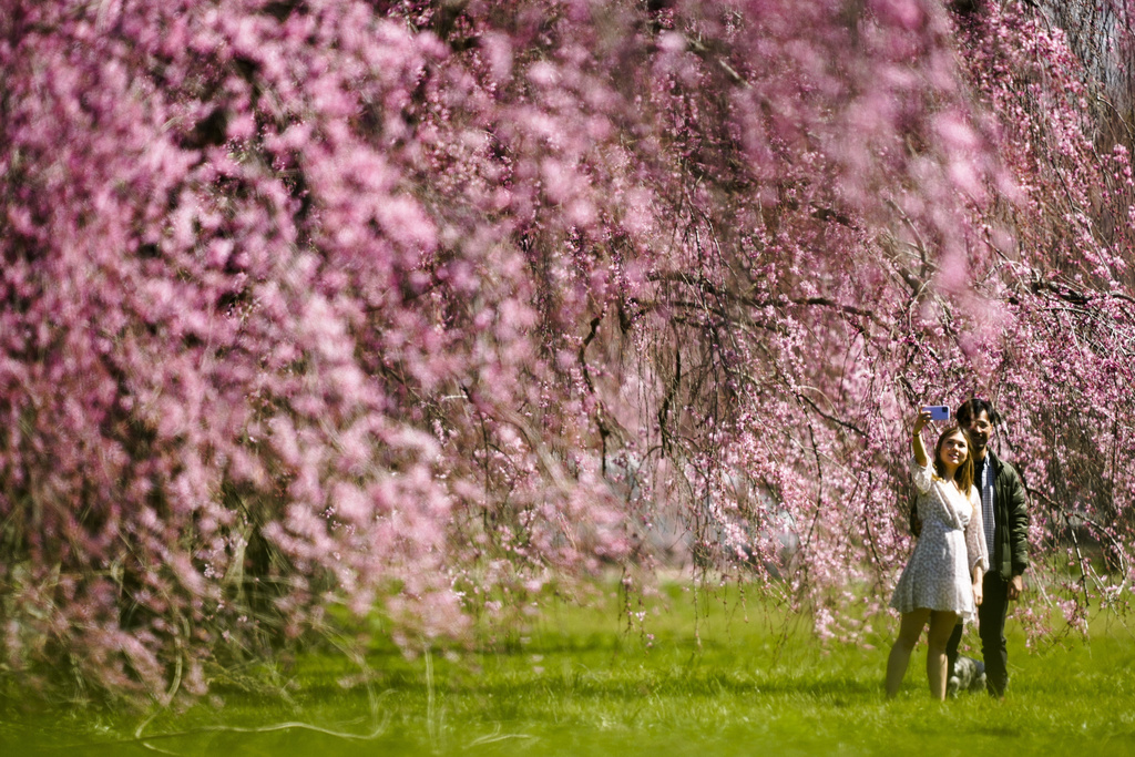
The United States can expect a nice spring break from past too rainy or too dry extremes, federal meteorologists predicted Thursday.
After some rough seasons of drought, flooding and fires, the National Oceanic and Atmospheric Administration’s spring outlook calls for a less hectic spring that should be warmer and wetter, but not prone to major flooding and drought at low levels.
There is zero major or record flooding forecast, with much of the East and Southeast predicted to get more nuisance-type flooding that doesn’t cause property damage, said Ed Clark, director of NOAA’s National Water Center in Tuscaloosa, Alabama. Less than a quarter of the country is in drought with just 0.14% of the nation experiencing the highest level of drought, which is unusually low, said Jon Gottschalck, operations branch chief for NOAA’s Climate Prediction Center.
In other words, a sweet spot.
“We certainly are pleased to see the lack of major flooding and the upper Mississippi portions of the Red River in the north, which we typically see this time of year,” Clark said. “In fact, this is one of the first outlooks I’ve seen in a long time where we have not had major flooding projected for some portion of the country.”
“The lack of flooding is really a boon for the nation,” Clark said.
Former NOAA chief scientist Ryan Maue, a private meteorologist not involved in the spring forecast said there is likely to be a bit of “overtime winter” at the end of the month for the Great Lakes and Midwest, but spring is looking good. He and others said what’s happening is the world is transitioning from a strong El Nino, which is a warming of the central Pacific that changes weather worldwide, to a forecast summer La Nina, which is El Nino’s cooler cousin that also warps weather.
“A mild wet pattern for the next 1-2 months will probably give way to a hot, dry La Nina summer, but until then we may actually see a bonafide spring transition season rather than flipping the switch directly to summer,” Maue said in an email.
But there’s some asterisks in the rosy forecasts.
Near the end of spring, flow rates along the lower part of the Mississippi River could be low for barge traffic, Clark said. Wildfire risk is still high in parts of the country, including the southern High Plains region, Gottschalck said.
“Things can change very quickly during the spring,” Gottschalck said. “We are worried about some areas where extreme heat, wildfire risk, where some of the dry conditions” continue in the Southwest, lower Southern Plains, Northern Plains and Upper Mississippi Valley.
The NOAA forecast doesn’t look precisely at tornadoes or severe storms. And that may be a bigger problem than usual this spring, mostly because a warm relatively ice-and-snow-free winter in the Midwest sets up conditions ripe for tornadoes, hail and severe storms, said Victor Gensini, a meteorology professor at Northern Illinois University.
(AP)


One Response
In some ways it is thought of as “catch a break”. In the NY area we had a mild winter and the mosquitos, ticks and other infestations are expected to be much worse because the cold did not kill them off.