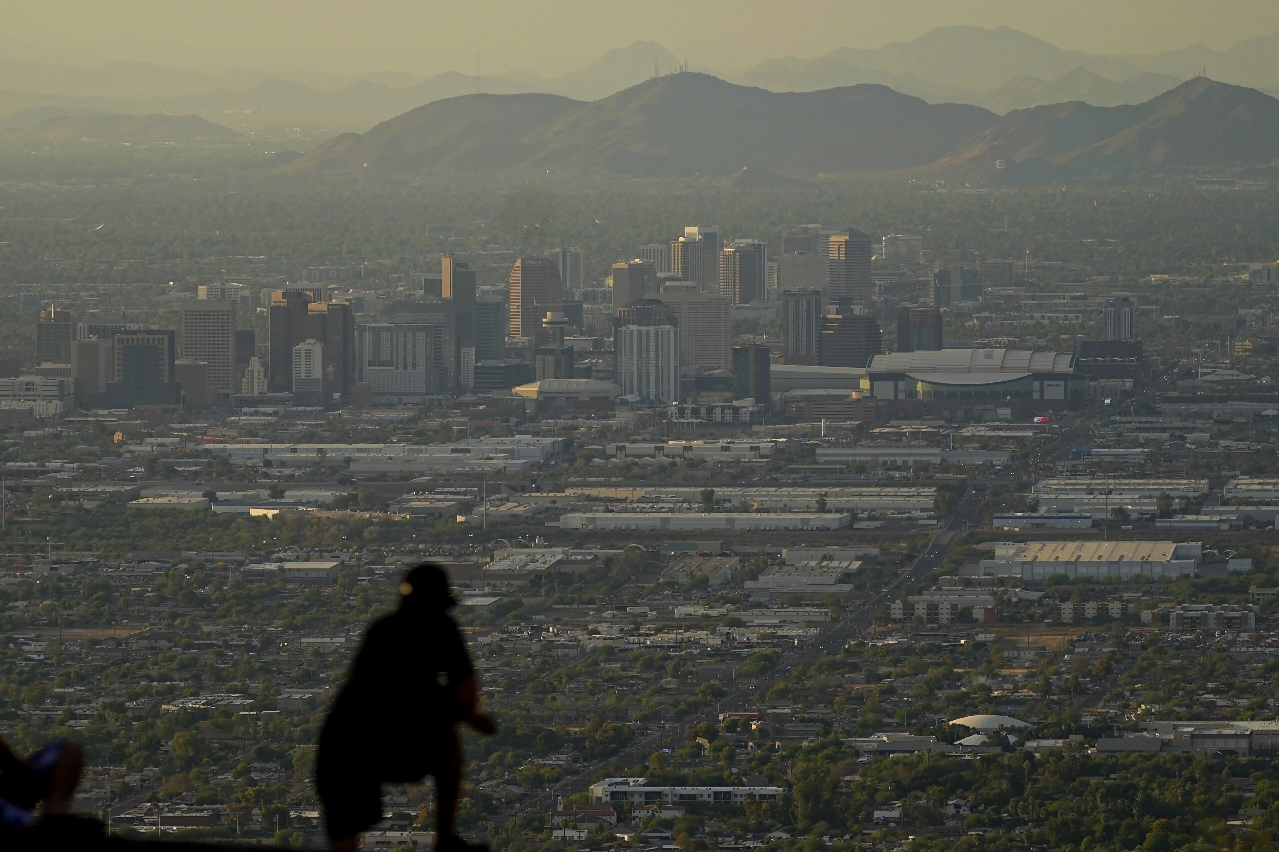
The summer of 2023 may be drawing to a close — but the extreme heat is not: More record-shattering temperatures — this time across Texas — are expected Saturday and Sunday as the U.S. continues to bake.
Highs of 109 degrees Fahrenheit (42.8 degrees Celsius) forecast for Saturday and 110 F (43.3 C) on Sunday in Dallas would break the current record of 107 F (41.7 C) each day, both set in 2011, and would come after a high of 109 F (42.8 C) on Thursday broke a record of 107 F set in 1951, according to National Weather Service meteorologist Tom Bradshaw.
“There really is no relief in sight, there is some hint by the end of August, maybe Labor Day, high temperatures will begin to fall below 100,” Bradshaw said. “It’s possible to see 100-degree-plus temperatures through the first half of September, at least off and on.”
The heat wave causing misery in Texas this weekend is just the latest to punish the U.S. this year.
Scientists have long warned that climate change, driven by the burning of fossil fuels, by deforestation and by certain agricultural practices, will lead to more and prolonged bouts of extreme weather including hotter temperatures.
The entire globe has simmered to record heat both in June and July. And if that’s not enough, smoke from wildfires, floods and droughts have caused problems globally.
Just days ago, daily high temperatures in the Pacific Northwest broke records. At Portland International Airport, the daily high temperature Monday of 108 degrees Fahrenheit (42.2 Celsius) broke the previous daily record of 102 degrees (38.9 C), the National Weather Service said. It was also the first time in 130 years of recorded weather that Seattle had three days in a row with lows of 67 degrees (19.4 C) or warmer.
Last month, the Phoenix area broiled under a record-setting 31 days of daily high temperatures of 110 F (43.4 C) or above. The historic heat began blasting the region in June, stretching from Texas across New Mexico and Arizona and into California’s desert. The previous record was 18 straight days, set in 1974. In July, the continental United States set a record for overnight warmth, providing little relief from daytime heat for people, animals, plants and the electric grid, meteorologists said.
Meanwhile, in Waco, about 90 miles (145 kilometers) south of Dallas, there has been no rainfall for a record-tying 49 straight days, since only a trace amount on July 1.
“There’s no sign that’s going to change anytime soon … Waco is on track to be driest summer on record,” Bradshaw said.
In Oklahoma City, the high is expected to reach 106 F (41.1 C) degrees, tying a record set in 1934 and in Topeka, Kansas, the high is forecast to reach 108 F (42.2 C), one degree shy of the record set in 1936.
An excessive heat warning is in place from south Texas, western Louisiana across eastern Oklahoma, eastern Kansas and all of Missouri. Excessive heat warnings were also issued for parts of Arkansas, Kentucky, Minnesota, Nebraska, Illinois and Iowa.
In Minneapolis where the average daily high is 81.7 F (27.6 C) degrees, the high is to reach 95 F (35 C), before a cold front drops temperatures into the mid-80s on Sunday, according to the weather service.
A heat advisory was issued for Sunday for parts of southern Wisconsin and high ozone levels are to affect air quality in Indiana where temperatures are expected to reach the mid-90s by Wednesday, the weather service reported.
A high of 95 F (35 C) is forecast by midweek in Chicago, 12 degrees above normal.
More scorching temperatures baked most of Louisiana on Saturday. The Shreveport area Saturday saw temperatures as high as 110 F (43.3 C) while New Orleans hit the 101 F (38.3 C) mark.
Megan Williams, a meteorologist with the National Weather Service in Slidell, said residents through Sunday could expect heat index values — or what outside feels like — between 108 to 113 F (42.2 to 45 C) — and in some cases greater than 113 F.
“The most vulnerable people are at both ends of the age spectrum,” Penn State University Prof. W. Larry Kenney told The Times-Picayune/The New Orleans Advocate.
“So infants, because they’re really at the mercy of their parents to keep them cool and keep them well hydrated, are vulnerable to temperature extremes,” Kenney said. “And then people over the age of 65 are vulnerable. A lot of elderly don’t have access to places with air conditioning. And as we get older, our body is less able to tolerate those conditions of high heat and humidity.”
The Centers for Disease Control and Prevention reports just 600 to 700 heat deaths annually in the United States, but experts say the mishmash of ways that more than 3,000 counties calculate heat deaths means we don’t really know how many people die in the U.S. each year.
(AP)


One Response
This has nothing to do with “global warming” or “climate change” or whatever other stupid name they’ll come up with.
First of all, there’s always a record being set SOMEWHERE, simply because there are a lot of places. But globally no records are being set. Globally it’s still not as warm as it was in the 1930s, let alone the during the Medieval Warm Period.
This year we are having unusually high temperatures, because the earth HAS warmed up 1 degree C or so, due to the underwater volcanic eruption near Tonga. That ejected many hundreds of tons of water into the atmosphere, so until it all settles back down to the oceans there will be higher temperatures. It’s got nothing to do with anything people are doing, and it will eventually clear up.
And of course cities are warming up because their heat islands are increasing due to more area being paved over and more electricity being used, so weather stations in cities will show higher temperatures.